 vesseltracker.com
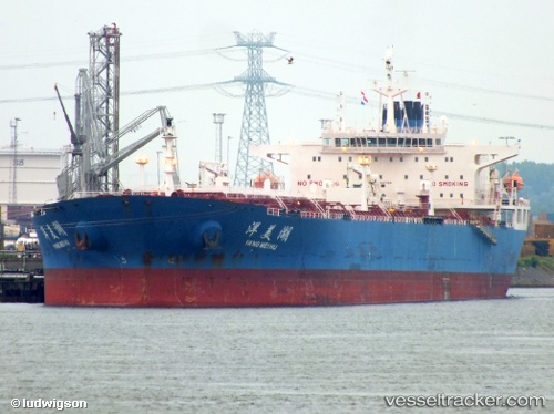
Find the position of the vessel Yang Mei Hu on the map. The latter are known coordinates and path.
marine traffic ship tracker show on live map
The current position of vessel Yang Mei Hu is -5.18731 lat / 147.40141 lng. Updated: 2025-11-12 23:57:41 UTCDetails:
Last coordinates of the vessel:
UTC, -4.57868, 147.22508, course: 117, speed: 11.9UTC, -4.69046, 147.35974, course: 150, speed: 13.5
UTC, -4.96504, 147.40021, course: 180, speed: 13.3
2025-11-12 23:57:41 UTC, -5.18731, 147.40141, course: 182, speed: 12
Track of the vessel in the last 14 days
The ship also appears on the maps: